That Which We Have Heard & Known

Occasional thoughts of an Anglican Episcopal priest

Page 126 of 130

Travel Frustrations

Finally, I am in one place for more than a day or two … but getting here was a 24-hour exercise in frustration!

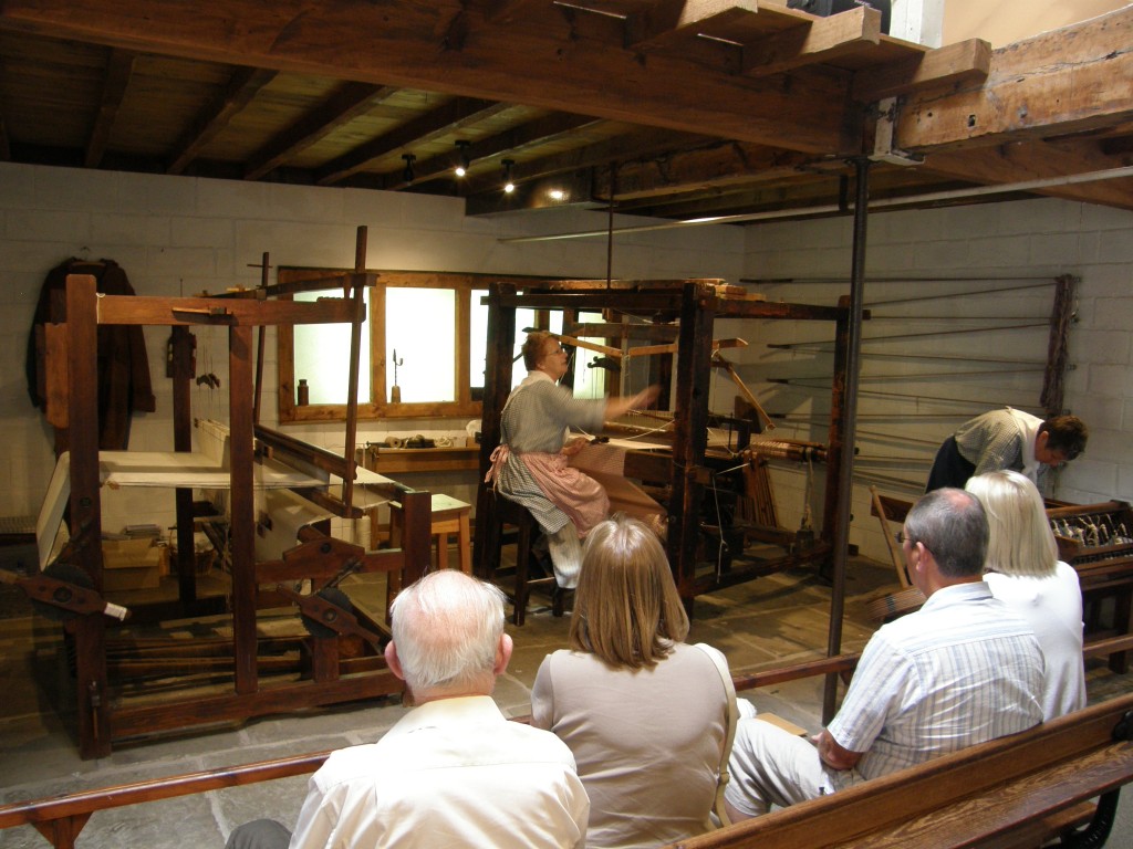
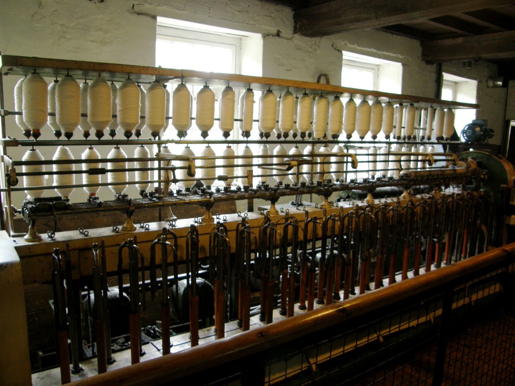
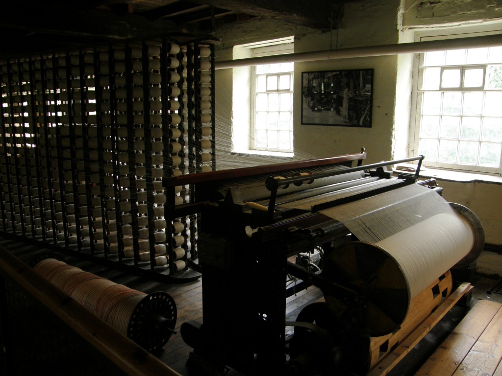
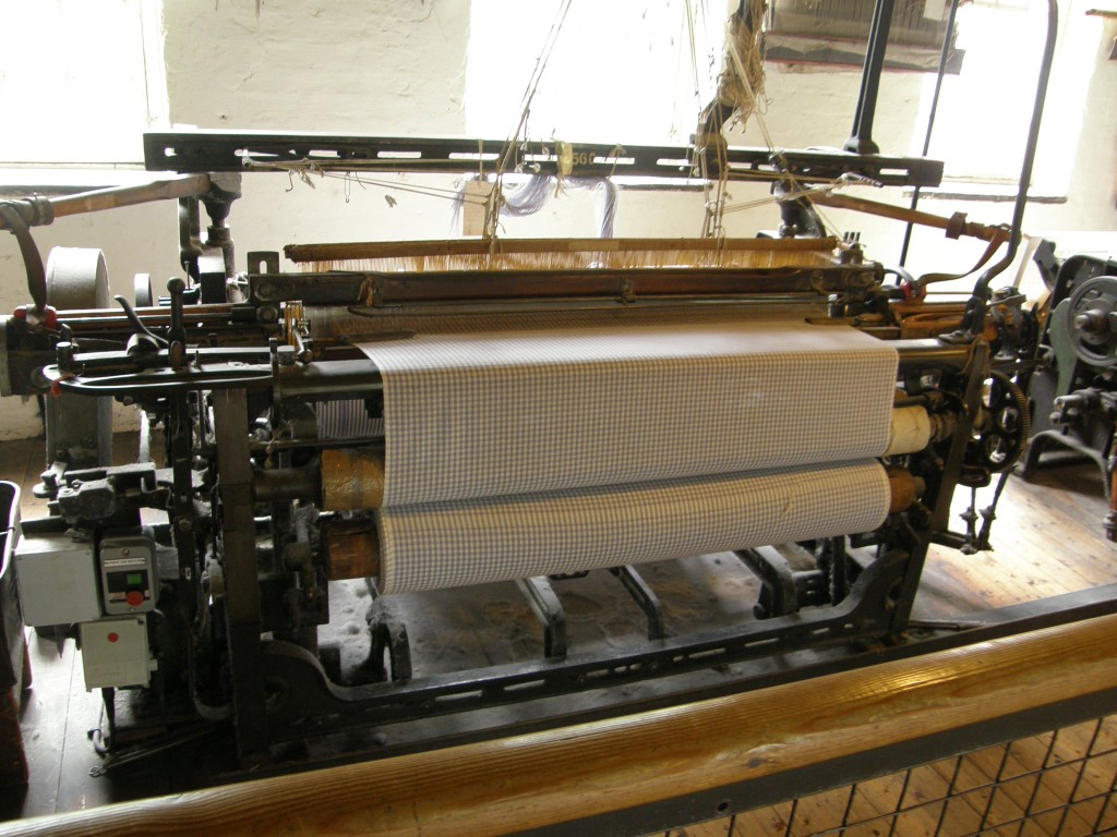
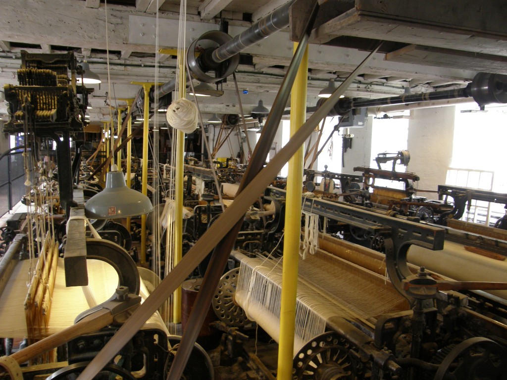
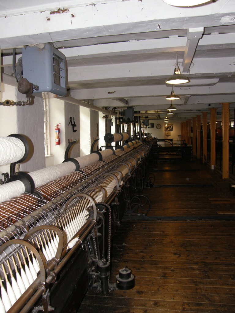
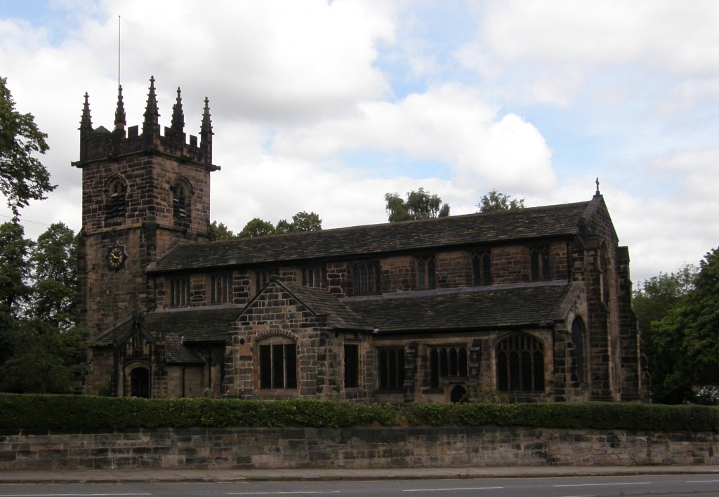
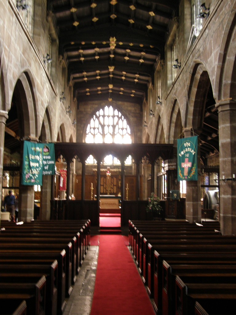
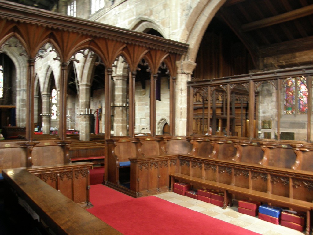
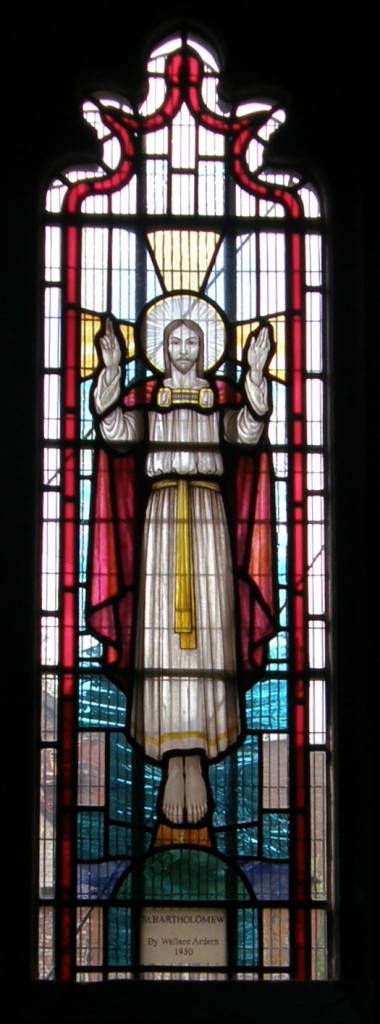
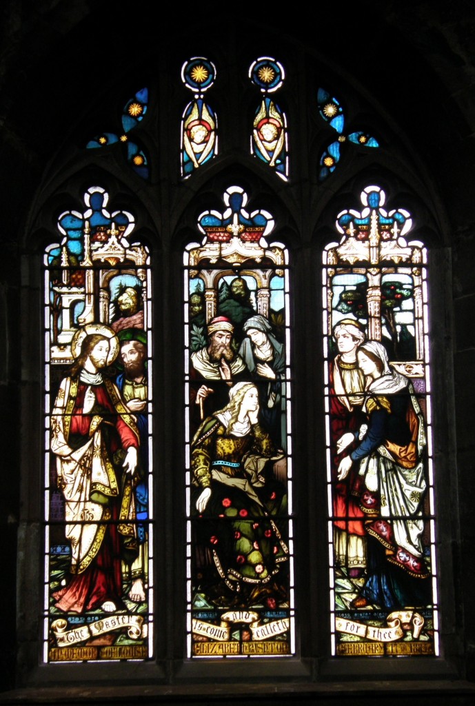
I drove from Wilmslow near Manchester in England to Edinburgh, Scotland, after a very pleasant visit with my friend Sally M. and her husband Tim. Sally and I had gone to the weekday Eucharist at St. Bartholomew’s Church, then toured the Quarry Bank cotton mill historical site maintained by the National Trust. Then I hit the road.

I arrived at the Quality Hotel at the Edinburgh Airport, unloaded my things, cleaned up the interior of the car and made sure I had everything out of it, then drove from the hotel to the rental car return lot … somehow making a wrong turn and ending up in a lane and an area of the airport reserved for “authorized vehicles” only (i.e., buses and taxis). Zipping quickly into an escape lane labeled FastTrack, thinking it was a quick way out of the airport, I found myself headed instead for a £26 short-term parking lot!!! Another quick lane change into a lane labeled Drop Off Only and I was in a covered drive with hundreds of people getting out of cars with their baggage; I finally made it to the exit of this area, only to find I had to pay £1 to open a gate … in any event, I made it to the car park, turned in the car, and went to find the shuttle bus to back to the hotel. On the way, I had the good idea to enter the terminal and locate the Aer Lingus ticket counter which I found at the far left end of the counters. Good, I know where to head in the early morning.

Back out to the shuttle bus and back to the hotel. I’d checked the Aer Lingus web site about baggage limitations and learned that there is 20 kilo limit on luggage, so with two bags that were packed to a 50 lb limit in the states (one about 30 lbs or 16 kilos, one about 48 lbs or 22 kilos) I knew I needed to do some shifting of items and get them more evenly distributed. That took a lot of doing … I spent nearly two hours moving things back and forth and finally getting the one down to 20 kilos (books and my CPAP machine being the heavier and harder to distribute items). Then I hied myself to the bar for a beer and a fish-and-chips dinner.

I went to bed about 11:30 p.m. setting my clock for 5 a.m. so I could get up and get the 6 a.m. shuttle in order to check in the recommended two hours before the 8:20 a.m. flight time. Tossed, turned, last looked at the clock at nearly 1 a.m. and then woke up at 4:00 a.m. and couldn’t go back to sleep. Thirty minutes later I faced the inevitable and got up, showered, finalized the packing, checked out and got to the airport at 6:00 a.m.

Loading my two bags to be checked, my carry-on backpack computer bag, and my jacket on a rolling cart, I headed to the previously scouted Aer Lingus counter … and found that it was now the City-Jet Airlines counter! And, further, that there was no Aer Lingus counter at all! I asked the young woman a the City-Jet counter what was going on. She said their counters are not permanently assigned and changed “all the time.” A young man behind her overheard our conversation and told me that Aer Lingus would open at Counter 14 in a few minutes, so I stood back and waited about 20 minutes and, sure enough, it did open up … with said young man manning the counter. I went up to check in … and he told me my luggage was 17 kilos overweight! All that work to balance the distribution between the bags and now I am told that the 20 kilo limit is “per person” not “per bag”! I would have sworn the website read as if this were a “per bag” limit, but I was reading the “Checked Bags Fees” section and not the “Checked Bags Allowances” section which I have now seen on re-reading the site. So … at £12.00 per kilo overage fee, I pay $330 to send my bags one-way to Ireland – this is $100 dollars more than the round-trip ticket to send me there and back.

Deep sigh of resignation … pay fee, get boarding pass, go off to security and the gates.

Security – guess who gets singled out for special pat-down and carry-on baggage examination.

At this point, I’m about as frustrated with everything as I can be. The Edinburgh Airport has rapidly become a non-favored place in my experience and I am ready to leave. In fact, I’m about ready to say, “This has been a great two-weeks, let’s cancel the rest of this exercise and go home!” But I don’t … I finally get to the gate … and find it’s been changed. So I go to the other gate, fortunately not far away.

Chill for 90 minutes. Go through the check-in procedure, walk out on the tarmac, enter small propeller-driven aircraft, collapse into seat.

Conversation with the woman next to me … she’s from Wichita, Kansas! An emergency physician traveling with her college-age son for a vacation in Scotland and Ireland. Very pleasant 70 minutes on the flight and we arrive at Dublin. Passport, baggage claim, customs, all no problem.

Car rental – pre-arranged months ago for a two-month long-term rental with insurance provided by my VISA card which advertises “world-wide” insurance coverage on rental cars. Except … it turns out … in Ireland, Syria, Iran, and other “terrorist countries” – Ireland? A terrorist country? Really? Long-distance call to the US to the VISA issuer confirms this. Damn! Basic insurance on the car is €15 per day, or €75 per week for a long-term rental. And, oh by the way, we don’t have your reservation … you shouldn’t have been able to do that on the website! Don’t worry, we’ll get it worked out (which they do) but it will have to be another car because we don’t have any in your reserved class with the proper registrations and permits for long-term rental. (I get a bigger car, but at some point, through the Galway office, I’ll have to trad it for the size I reserved.)

Finally, this all gets worked out and I get the car … some sort of Opel sport sedan with a diesel engine. Very posh. Feels HUGE after the little Vauxhall Meriva I’d been driving through the UK. I get my luggage loaded, get my Garmin GPS out of the suitcase, set it up on the dash, turn it on, set my destination, and move out … and get incomprehensible instructions from the GPS! The maps for Ireland are out-of-date. They have built new, high-speed motorways since these maps were produced, and in Dublin they have replaced roundabouts with American-style light-controlled intersections. Garmin’s instructions are worse than useless – they are dangerous! I turn it off and navigate by blind luck, finding my way to the Vodafone store where I am supposed to be able to convert my Nokia cellphone to local service so I don’t have to pay British international roaming charges. Guess what – Vodafone UK misinformed me – Vodafone IE can’t convert the phone. No big deal, I’ll just pay the roaming charges. I can top-up the prepayment arrangement here, so we’ll just go with that.

Back on the road … “Jack” (my Garmin) still is useless – when I’m on the motorway, he thinks I’m driving through farm fields and keeps telling me “Drive to highlighted route.” So he gets turned off again – just follow the signs to Galway. Once I get outside Galway City, Jack is fine – the road in the Gaeltacht don’t change! He guides me properly from Galway City to An Cheathrú Rua.

I arrive at my host family’s home, greet my old friends Feithín and his sister Múirin, children of my hosts, unload the car and collapse for a nap!

These 24 hours have been an exercise in frustration and patience. Thank God, they’re over. Before I take my nap … I open up Dánta Dé and I read this prayer:

Paidir mhilis thrócaire
Atá lán de ghrása
Cuirimid-ne chugad-sa
Dár gcaomhaint ar ár námhaid,
Ag luighe dúinn anocht
Is ag éirghe dúinn amárach,
In onóir na Trionóide
‘S i síthcháin na Páise.

A Íosa mhilis thrócairigh,
A Mhic na h-Óighe cúmhra,
Sábháil sinn ar na piantaibh
‘Tá íochtarach dorcha dúnta.
Leat a ghnímíd á ngearán
Óir is agad ‘tá an tseachrán
Is cuir inn ar an eolas.

In English:

A sweet prayer of mercy,
That is full of graces,
We send to Three,
To protect us from our enemies,
On our lying down tonight,
And on our rising tomorrow:
In honour of the Trinity
And in the peace of the Passion.

O Jesu, sweet, merciful,
O Son of the fragrant Virgin,
Save us from the pains
That are nethermost, dark, emprisoned.
To Thee we make our plaint,
For with Thee is our succor;
Keep us from wandering,
And guide us to [true] wisdom.

Keep us from wandering and guide us to wisdom, indeed! Amen!
Shrewsbury Abbey – 12 July 2011

Several years ago a woman named Edith Mary Pargeter began writing a series of murder mysteries set in the Middle Ages under the pseudonym of Ellis Peters. The “detective” protagonist of these mysteries was a monk named Cadfael. When dramatized by the BBC the actor Derek Jacobi played Brother Cadfael. Brother Cadfael’s monastic community was Shrewsbury Abbey, which is a real place. The abbey church of Shrewsbury Abbey still stands and is a functioning congregation of the Church of England. I visited the Abbey Church the morning of 12 July 2011.

Initially a small Saxon church, the Church of Saints Peter and Paul which was founded by Roger de Montgomery, a relative of William the Conqueror in 1083. It subsequently became a Benedictine Abbey and during the following 450 or so years it grew to become one of the most important and influential abbeys in England. In 1147, the relics of a Welsh Saint, Winefride, were brought to the Abbey and his shrine became an important place of pilgrimage. In 1283, the first English Parliament in which the Commons had a legal share took place in the Abbey Chapter House, and in 1398 Richard II summoned the Great Parliament in the Abbey. The Abbey was surrendered to the Crown in January of 1540 when Henry VIII disestablished the monasteries. Although much was destroyed, the nave continued to serve, as it does today, as the place of worship for the Parish of the Holy Cross.

In the nineteenth century plans for restoration of the Abbey were drawn up, but financial constraints compelled the building of only part of the plan; everything to the east of the pulpit and lectern are the work of the Gothic Revival architect John Loughborough Pearson, best known for designing Truro Cathedral; his work dates from 1886. The Pearson plans were put on hold and never completed because of the intervention of World War I.

Here are some pictures of the church:

This is the façade of the church seen from the small car park for the church staff:

Facade of Shrewsbury Abbey Church

Facade of Shrewsbury Abbey Church

This is the side of the church along which a major highway now runs (in the city of Shrewsbury this street is called Abbey Foregate, but it is national highway A5191 with lots of traffic). This would have been the side on which the cloister, dormitory, and other living spaces of the monastic community were built; you can see the ragged edges where the broken-down walls once adjoined the structure. The building is made of a red sand-stone native to the Shropshire area.

The interior of the church is quite large and spacious and, despite the dark stone from which it is built, natural light from the clerestory windows makes it quite bright. A very handsome painted reredos in the chancel (with a much gilt) fairly glows, and below it the altar is draped with a heavily embroidered frontal:

Nave of Shrewsbury Abbey Church

Nave of Shrewsbury Abbey Church

Reredos of Shrewsbury Abbey Church

Reredos of Shrewsbury Abbey Church

Altar Frontal, Shrewsbury Abbey Church

Altar Frontal, Shrewsbury Abbey Church

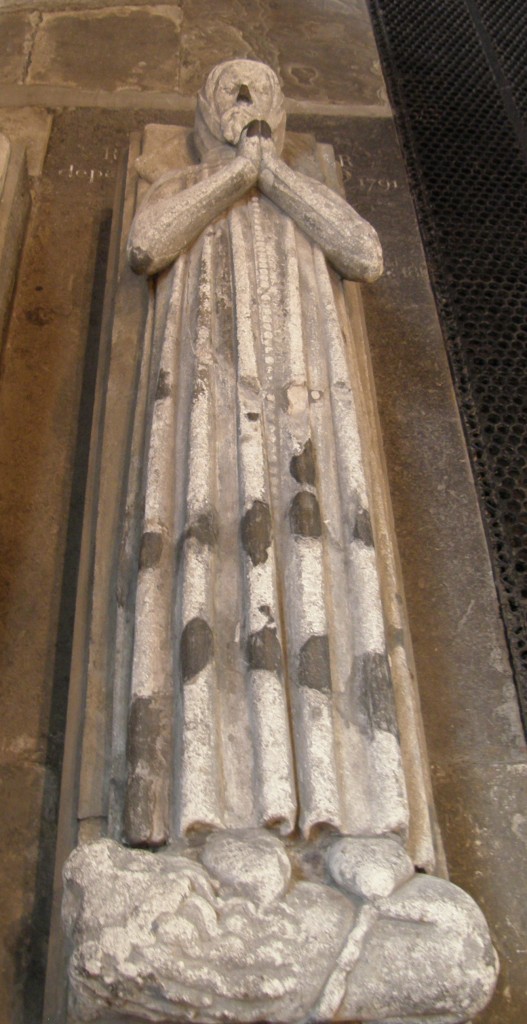
Around the side aisles of the church are tombs, such as these. The first picture is the tomb of a medieval priest; the second, of an Elizabethan couple.

Medieval Tomb, Shrewsbury Abbey Church

Medieval Tomb, Shrewsbury Abbey Church

Elizabethan Tomb, Shrewsbury Abbey Church

Elizabethan Tomb, Shrewsbury Abbey Church

There are numerous stained glass windows, old and new, such as these two. The first dates from the Middle Ages and shows the Adoration of the Magi; the second is of quite recent vintage and celebrates the Brother Cadfael series!

Adoration of the Magi Window, Shrewsbury Abbey Church

Adoration of the Magi Window, Shrewsbury Abbey Church

Brother Cadfael Window, Shrewsbury Abbey Church

Brother Cadfael Window, Shrewsbury Abbey Church

The ladies of Shrewsbury Abbey church were quite gracious when I visited. They have a small shop set up just inside the entrance to the church and a small coffee and tea bar at the rear of the left aisle. It was quite astonishing and rather funny to see a kitchen sink and countertop with modern appliances set up right next to an Elizabethan tomb, but this sort of “repurposing” is something the church needs to do and needs to do more frequently!

As I was about to leave, one of the ladies asked where I was from. I said, “Near Cleveland in the state of Ohio.” “Of course, you’re from America,” she said, “you such a lovely accent!” I nearly burst out laughing … I thanked her and went on my way, hoping to see a neolithic ring fort at Old Oswestry about an hour away. Unfortunately, road construction, indecipherable signage, and a GPS error made that impossible.

Leaving the UK

I’ve got some great photos of Shrewsbury Cathedral, St. Bartholomew’s Church (Wilmslow Parish), and the Quarry Bank Mill (in Wilmslow), I just haven’t had the time to process them and get a blog post or two written! I hope to do that in the next few days in Ireland. Today I fly to Dublin, rent another car, deal with the cell phone situation (transfer coverage from a UK company to an Irish company), and then drive to the village of An Cheathrú Rua (“Carraroe”), Co. na Gaillimhe (“County Galway”). I am to stay with Lucia and Ciaran Uí Fátharta, the same family I stayed with three years ago. (They didn’t have internet access when I was there before and I had to use the hub at the school, which was only available certain hours of the day. I’m hoping that situation has changed.) In any event, more is coming to the blog as soon as possible.
Visiting Wilmslow

I’ve driven from Hay-on-Wye to Wilmslow (near Manchester) to visit friend Sally M. She’s taken me on a whirlwind tour of the area focusing on the two churches of the Parish, St. Bartholomew’s and St. Anne’s. Both lovely church facilities. Take a look at their website, which includes a virtual tour of the older church (St. Bartholomew’s).

One the way, I stopped in Shrewsbury and saw the Abbey, then drove on to Oswestry where I had planned to visit the neolithic round fort at Old Oswestry, but somehow got lost and never made it.

Now I’m here for my last night in England (tomorrow I’ll be back in Scotland and the next day off to Ireland). More later….

My Day in Wales (Postcript)

I should probably make mention of the fact that on my return to Hay-on-Wye I spent a couple of hours wandering through a few of the several book stores in this town, which is famous for the used book trade. I saw lots and lots of books, so many that even I, bibliophile that I am, was overwhelmed. I’m quite proud of the fact that I didn’t buy a single one! That’s saying a lot for a man who, I’m quite sure, has never before entered a bookstore without leaving with at least one purchase! It’s a fun town, though, if you’re into books. And it has some good restaurants – I recommend The Blue Boar for local fare and Red Indigo for really fine Indian cuisine.

My Day in Wales (Part 3)

This post concludes the tale of this day begun in Part 1 and continued in Part 2.

Llanthony Priory was a monastery of Augustinian Canons nine miles south of Hay-on-Wye. St. David is said to have lived in the area as a hermit, but this tradition lacks confirmation.

The story of the Priory is that around the year 1100 the ruins of a chapel and cell, supposed to have been that occupied by St. David, were discovered by a retainer of Hugh de Lacy, Baron of Herefordshire, named William. He thereupon decided to quit the world and become a hermit himself. He was later joined by Ernisius, chaplain to Queen Maud, wife of Henry I. These two anchorites became famous and their story reached Baron de Lacy, who in 1107 founded and endowed a monastery for them, dedicated to St. John the Baptist. The rule of the Canons Regular of St. Augustine was adopted. In the course of time, the severity of the climate, the poverty of the soil, and the persecution of the Welsh natives combined to make life there impossible. In 1134 the entire community, numbering about forty, abandoned the monastery and took refuge in the palace of Robert, Bishop of Hereford. After two years a new monastery was built for them near Gloucester by Milo, Earl of Hereford, which was called Llanthony Secunda. Only a few canons lived from time to time in the original monastery, and both houses were governed by one prior, who resided at Gloucester.

The buildings at Llanthony fell gradually into decay and passed into private hands when Henry VIII dissolved the monasteries in 1539. In 1807 the property was bought by Walter Savage Landor. It still belongs to his descendents, the habitable portion of it having been added to and converted into an inn during Queen Victoria’s reign. The church is in ruins, but the western towers, part of the central one, and some of the nave piers and arches are standing.

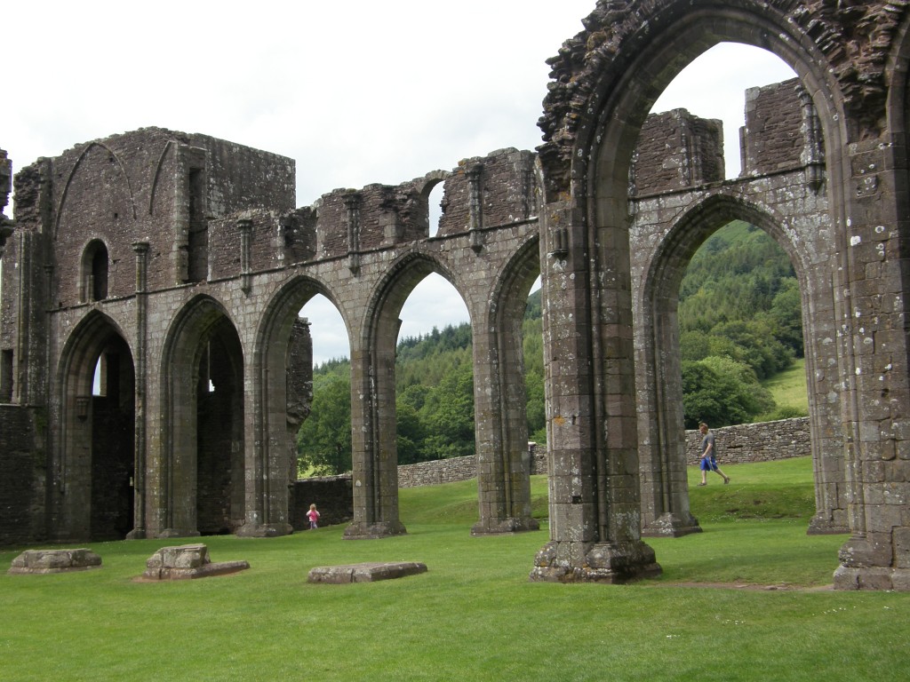
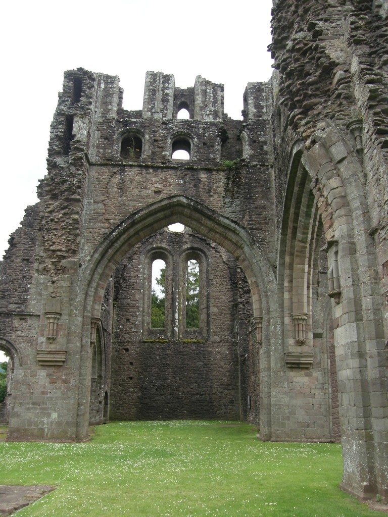
Here are a few pictures of Llanthony Priory taken today, 11 July 2011:

Llanthony Priory, Black Mountains, Wales

Llanthony Priory, Black Mountains, Wales

Llanthony Priory, Black Mountains, Wales

Llanthony Priory, Black Mountains, Wales

Llanthony Priory, Black Mountains, Wales

Llanthony Priory, Black Mountains, Wales

Llanthony Priory, Black Mountains, Wales

Llanthony Priory, Black Mountains, Wales

And this is the Inn built into the Priory ruins by the Landor family:

Victorian Inn at Llanthony Priory, Black Mountains, Wales

Victorian Inn at Llanthony Priory, Black Mountains, Wales

There is also a functioning Anglican Church in Wales parish church on the site of the Priory, St. Davids, Llanthony. The structure first seen in this picture is a cottage attached to the church, presumably intended to be the vicarage:

St Davids Parish Church, Llanthony, Wales

St Davids Parish Church, Llanthony, Wales

This is the interior of the church:

Interior of St Davids Parish Church, Llanthony, Wales

Interior of St Davids Parish Church, Llanthony, Wales

Notice the pulpit … it is built into the wall and cannot be accessed from the congregation’s side of a wall and arch that separates the congregation from the choir and chancel.

Pulpit of St Davids Parish Church, Llanthony, Wales

Pulpit of St Davids Parish Church, Llanthony, Wales

I entered the pulpit through this door. I almost couldn’t fit in and getting back out was a really spine-bending challenge!

Pulpit Doorway of St Davids Parish Church, Llanthony, Wales

Pulpit Doorway of St Davids Parish Church, Llanthony, Wales

All things considered, it was a good day in Wales. After visiting the parish church, I made my way back to the B&B in Hay-on-Wye by way of a “single track lane with passing areas” about which I’ve written earlier.

My Day in Wales (Part 2)

I left Llantwit Major, where I had surveyed the Church of St. Illtud (see My Day in Wales (Part 1)), and having given serious consideration to driving the 101 miles from there to St. David’s where the primatial Cathedral of the Church in Wales is located, I set out to do just that. It really is a lovely cathedral and there are well-preserved ruins of a monastery founded by St. David there. (Here is a link to the Cathedral’s website.) I got onto the M4 motorway and started driving west, but a little bit beyond Swansea, stopping for petrol and a Diet Coke, discretion got hold of me and I realized that I really didn’t want to spend two hours driving there and then to face three hours getting back to Hay-on-Wye. So I went back to my original plan, which was to drive to the village of Penderyn and visit the only whisky distillery in Wales.

I didn’t take any photos at the distillery; I simply enjoyed the tour in the company of an American family from Florida and their friends from Wales. The whisky at Penderyn was lovely – if you ever have a chance to sample any, do so. They have three finishes – standard, which is aged before bottling in bourbon barrels then finished in madeira casks; sherry, which is aged in the bourbon barrels then finished in sherry casks; and “peated”, which is aged and finished in barrels previously used for Laphroig Scotch. Penderyn is not the first whisky made in Wales. Welsh monks made whisky in the middle ages, but the practice died out. The last commercial distillery before Penderyn was R. J. Lloyd Price’s Welsh Whisky Distillery Company established in 1887 at Frongoch. However, it was not a success and was sold in 1900 to William Owen of Bala for £5,000. The company made its last batch of bottled whisky in 1903 and was finally liquidated in 1910. That last batch met with an ignoble end when the horse cart it was being carried on fell over and all the bottles except two were smashed! One of the two is at the Penderyn Distillery today and the other is supposedly owned by Prince Charles, the Prince of Wales. However, our guide told us that the Prince’s steward is reportedly unable to locate the bottle! The bottle at Penderyn is on display and we were told that it is believed that, at auction, it would fetch a price of £300,000! For one liter of whisky! (The Frongoch product must have been pretty good … a cask of it was given to Queen Victoria by the local lodge of Freemasons when she visited the area in 1900 and she is reported to have gone through it rather quickly.)

The Penderyn products are pretty good, too! They didn’t have any of the peated available for tasting, but the standard and the sherry were delightful. They also make a gin and a vodka. Not being a vodka drinker I didn’t try that, but the gin is superb. More like the Dutch oude jenever than a traditional English dry gin. (The distillery has a very good and informative website which I invite you to view for yourself.) I only tasted very small sips of these spirits because, after all, I was on the road and still had to drive to Llanthony Priory and then back to Hay-on-Wye.

Driving through Wales today, I was struck by contrasts. From Cardiff to Swansea and beyond the M4 motorway is a broad, modern expressway on which cars and lorries zip along at 70 mph. Actually, many race by at even faster speeds. I’ve gotten the impression that in the United Kingdom “speed limits” are really “speed suggestions”…. Off of the motorway, on roads labeled as “A” roads, it’s a somewhat different story. “A” roads are two lane highways (one each direction) which back in the States (or at least in Ohio where I now live) would have a speed limit of no more than 45 mph and in many places, 35 mph. Here they generally are posted at 60 mph! And then there are “B” roads … these can be anything from something equivalent to a city residential street back home to a cow path!

My friends Ruthie and Clive live in Tylers Green, Penn, Buckinghamshire. To get to their home, my GPS (or “sat nav” as they are called here in the UK) directed me up a street called “Cock Lane” at the beginning which was a sign saying, “Single Lane Track with Passing Areas” … and that’s exactly what it is. I traveled on another road today with the same sign on display. Here’s few photos of that road taken from the driver’s viewpoint in my car:

Single Lane Track with Passing Areas, Black Mountains, Wales

Single Lane Track with Passing Areas, Black Mountains, Wales

Single Lane Track with Passing Areas, Black Mountains, Wales

Single Lane Track with Passing Areas, Black Mountains, Wales

The speed limit along here, by the way, is 30 mph! I did not drive anywhere near that speed; to travel these 9.2 miles took me 45 minutes. I met several vehicles coming the other way and often one or the other of us would have to stop and back-up to find a “passing area” where the other waved a thank you and we each went our way.

Single Lane Track with Passing Areas, Black Mountains, Wales

Single Lane Track with Passing Areas, Black Mountains, Wales

This particular single lane track with passing areas runs from Llanthony Priory to just outside Hay-on-Wye, a distance of 9.2 miles. Shortly after I took the photos above, the road got even narrower, and darker as trees growing along side arched over it forming a verdant tunnel. But then, rather quickly and unexpectedly, the roadside bushes and trees just disappeared and though the road got no wider, the vista broadened considerably.

Single Lane Track with Passing Areas, Black Mountains, Wales

Single Lane Track with Passing Areas, Black Mountains, Wales

I was in a mountain valley that was lush and green and filled with grazing sheep. It reminded me of the scenery in that great old movie starring Maureen O’Hara, Walter Pidgeon, and Barry Fitzgerald, How Green Was My Valley, a movie about growing up in a Welsh mining community (a young Roddy McDowall played a principal character). I don’t know where that movie was filmed, but my B&B host tells me that the area I drove through was where the outdoor scenes of another movie were filmed – An America Werewolf in London!

High mountain valley, Black Mountains, Wales

High mountain valley, Black Mountains, Wales

Sheep Grazing, Black Mountains, Wales

Sheep Grazing, Black Mountains, Wales

Shortly after I stopped to take the pictures above, I rounded a curve, topped a summit, and was treated to a breathtaking view of the Wye River valley. Even though the day was overcast at the time, the view was magnificent.

Wye Valley from Black Mountains summit, Hay-Llanthony Road

Wye Valley from Black Mountains summit, Hay-Llanthony Road

Wye Valley from Black Mountains summit, Hay-Llanthony Road

Wye Valley from Black Mountains summit, Hay-Llanthony Road

I was on this road driving from Llanthony Priory in the Black Mountains to my B&B in Hay-on-Wye. In the third and final installment of this description of my day in Wales, I’ll have pictures of the Priory. See My Day in Wales (Part 3).

Driving this sort of road (or any road, for that matter) is one of the times when I especially pray for God’s protection. In Dánta Dé there is a morning hymn (described as a ceol na ndaoine or “folk music”) which seeks God’s protection as “king of the graces” when “in each way that I shall take in the road that I wish to go.” First, the Irish Gaeilge:

A Rí na ngrás thug slán mé ó oidhche aréir,
Buidheachas naomhta do gnat do Rí na gCréacht;
Do bhrigh Do Pháise, a Árd-Mhic, dídean mé saor
Ó ghníomharthaibh Shátain gach lá is go críc mo shaoghail.

‘Athair na gcómhacht fóir mé ó phéist an uilc
Anns gach anach a ngeóbhad san ród ‘n ar méin liom dul,
Go cathair [Do Ghlóire] a gcómhnaidhe téidhim ar dtús
‘S a n-ainm na trócaire treóruigh féin mé indiú.

And the direct English translation:

O King of graces, Who brought me safe from yester-night,
Holy thanksgiving (be) always to the King of the Wounds:
By the power of Thy Passion, O High Son, protect me safe
From the deeds of Satan each day to my life’s end.

O Father of powers, save me from the serpent of evil,
In each way that I shall take in the road that I wish to go,
To the Throne [of Thy Glory] always first I go,
And in Mercy’s Name lead me Thyself to-day.

My Day in Wales (Part 1)

Noswaith dda!

Noswaith dda is Welsh for “Good evening” – do not try to pronounce it – whatever you guess will be wrong, I assure you.

I drove a circle through the Brecon Beacons today – I almost drove to St. David’s – but five hours of driving (two to get there from where I was just west of Swansea and three to get back from there to my B&B in Hay-on-Wye) didn’t seem like a good idea, so I didn’t. Instead I went to St. Illtuds in Llantwit Major, then to the Penderyn Distillery, then to Llanthony Priory … and then walked the streets of Hay-on-Wye and looked at lots of old books. It was overwhelming, even for a bibliophile like me … there are too many books … and some of the shops are simply disorganized. Many have the books categorized by subject, shelved alphabetically by author, etc. But some are just disorganized heaps of books – I think even the owners don’t know where anything is.

I was disappointed in St. Illtud’s Church and the ruins at Llantwit Major. The modern Welsh-English name comes from the old Welsh name Llanilltud Fawr. Llan means “monastery” and you can see St. Illtud’s name in the rest of that first word. The second word, fawr, means “great”. So the name is something like “Illtud’s Great Monastery” which was founded in the early 5th Century by St. Illtud as a center of learning … but it’s not so great any longer.

This is a very important site in Celtic Christian history and it’s not cared for very well at all. The monastic community here, over which St. Illtud and St. Samson were priors, was once so important in the formation of monks, priests, missionaries, and bishops that it has been called “The University of Celtic Saints.” St. David of Wales was educated and ordained there, and he is not the only one: in addition to St. David, St. Samson, St. Paul Aurelian, St. Gildas, St. Tudwal, St. Baglan and King Maelgwn ap Cadwallon (King of Gwynedd and apparently High King of Wales in the middle of the 5th Century) are said to have studied at the Cor Tewdws or “divinity school”.

The Scots and the Irish seem to have a sense of reverence for their ancient Christian monastic sites, but apparently not so the Welsh (or at least not the people of Llantwit Major). Although inside the church there is a poster about a fund raising effort to preserve what’s left and build a visitor center, it’s pretty clear it’s not going anywhere – the poster is a few years old. And in the old chapel, there are dustbins and a composting thing set up….

Here are some pictures of the Church of St. Illtud’s and what remains of the medieval buildings that were once found at this site. Of course, the earlier Celtic site has long since disappeared. First, the church as seen from the town’s public car park and then a couple of photos of the building from the church yard.

St. Illtuds Church, Llantwit Major, from town car park

St. Illtuds Church, Llantwit Major, from town car park

St. Illtuds Church, Llantwit Major, from church yard

St. Illtuds Church, Llantwit Major, from church yard

St. Illtuds Church, Llantwit Major, from church yard and showing ruined monastic chapel at west end

St. Illtuds Church, Llantwit Major, from church yard and showing ruined monastic chapel at west end

There is a ruined chapel affixed to the functioning church directly out the west door; in this chapel are currently housed dustbins (trash cans, to an American) and a green plastic composting container!

St. Illtuds, ruined chapel with composting bin

St. Illtuds, ruined chapel with composting bin

On the grounds was also a ruined chantry which has now been turned into a memory garden:

St. Illtuds, ruined chantry memory garden

St. Illtuds, ruined chantry memory garden

Inside the church there are some stones with Celtic carving and Latin inscriptions which may date from the early Celtic monastery:

St. Illtuds, Celtic Cross bearing name of Illtud

St. Illtuds, Celtic Cross bearing name of Illtud

St. Illtuds, Celtic carved stones

St. Illtuds, Celtic carved stones

And, of course, the Victorians got to the place and their influence is seen in the chancel of the church and the reredos:

St. Illtuds, chancel, altar and reredos

St. Illtuds, chancel, altar and reredos

After surveying the church at Llantwit Major (which didn’t really take as much time as I thought it would), I gave serious consideration to driving the 101 miles from there to St. David’s where the primatial Cathedral of the Church in Wales is located. It really is a lovely cathedral and there are well-preserved ruins of a monastery founded by St. David there. (Here is a link to the Cathedral’s website.) In fact, I got onto the M4 motorway and started to do just that, but a little bit west of Swansea, stopping for petrol and a Diet Coke, discretion got hold of me and I realized that I really didn’t want to spend two hours driving there and then to face three hours getting back to Hay-on-Wye. So I went back to my original plan, which was to drive to the village of Penderyn and visit the only whisky distillery in Wales. (See My Day in Wales (Part 2) for more about that.)

(Later in the day I visited Llanthony Priory, another monastic ruin, in the Black Mountains south of Hay-on-Wye. Read My Day in Wales (Part 3) for that story and more photos.)

Neolithic Britain – 9 July 2011

Today, 9 July 2011, I walked the hills of southeastern England visiting two fascinating sites that may date back as many as 5,000 years!

First I visited the village of Uffington, Oxfordshire, and the hill south of town on which one finds a massive depiction in white chalk of a horse. I tried to take a picture of it, but from ground level that is very difficult to do and (on this day) the site was crawling with several hundred early elementary school students on school outings. So here’s a picture from Wikicommons:

The Uffington White Horse from the Air

The Uffington White Horse from the Air

I walked up to the area where the head of the horse is seen in this picture. It was an overcast and hazy but warm day – a good thing because it was also very breezy. It was about a mile or so walk up the hill from the car park via the Ridge Path, which took me through the Uffington Castle, which isn’t what you think it is at all … not a castle in the medieval sense. Uffington Castle is all that remains of an early Iron Age hill fort. It is composed of two circular earth berms (with a circular ditch between them) surrounding about 32,000 square meters (nearly 8 acres). There is an entrance in the eastern portion, near the White Horse and another at the south (through which I entered). An entrance in the western side was apparently blocked up a few centuries after it was built. I was able to take a picture of the “castle” (although it doesn’t look like much). This picture is taken from the eastern entrance of the southeastern quadrant; the southern entrance can be seen at the right of the picture.

Uffington Castle, Oxfordshire, UK

Uffington Castle, Oxfordshire, UK

As you can see, the White Horse is a highly stylised prehistoric hill figure, 110 m long (374 feet), formed from deep trenches filled with crushed white chalk. The figure is believed, and scientific tests have shown it, to date back some 3,000 years, to the Bronze Age. The purposes of its creators is completely unknown. It is not of Celtic origin, but G.K. Chesterton used it as the setting for part of his Catholic allegorical and poetic retelling of the story of the Saxon king Alfred the Great, who defeated the invading Danes in the Battle of Ethandun in 878, which is entitled The Ballad of the White Horse.

Before the gods that made the gods
Had seen their sunrise pass,
The White Horse of the White Horse Vale
Was cut out of the grass.

Before the gods that made the gods
Had drunk at dawn their fill,
The White Horse of the White Horse Vale
Was hoary on the hill.

Age beyond age on British land,
Aeons on aeons gone,
Was peace and war in western hills,
And the White Horse looked on.

For the White Horse knew England
When there was none to know;
He saw the first oar break or bend,
He saw heaven fall and the world end,
O God, how long ago.

As retold by Chesterton, Alfred and his Saxons set out from the White Horse and Alfred gathers there three great chieftains, Mark a Roman, Eldred the Franklin who is a Saxon, and Colan who is a Celt. In describing Colan, Chesterton includes these priceless lines:

For the great Gaels of Ireland
Are the men that God made mad,
For all their wars are merry,
And all their songs are sad.

After visiting the Uffington site, I went to Avebury to see the largest “henge” in Britain (possibly the largest man-made earthwork of its kind in all of Europe). A henge (the word is derived from Stonehenge and was coined in the mid-20th Century) is an earthen berm circular with an interior circular ditch. Because the ditch is on the inside, not the outside, of the berm, henges are not considered to be defensive fortifications. One scholar, however, has suggested that they are defensive in that he believes they were built to contain something and protect those outside from what was inside – and what was inside was divine energy. The Avebury henge contains many standing stones that are laid out in peculiar formations, some circles, some straight lines, some curving formations not forming full circles. Here are some photos of the standing stones.

Standing Stones near World Heritage Center Shop, Avebury, UK

Standing Stones near World Heritage Center Shop, Avebury, UK

Stone Circle portion within the Avebury Henge

Stone Circle portion within the Avebury Henge

This is a map (from Wikimedia) showing the Avebury henge and the position of the standing stones (and theoretical stones completing the circles). It does not show the Avebury village buildings which have been built within the henge. The henge has a circumference of about 3/4 of a mile.

Map of Avebury Henge (non-free material from Wikimedia)

Map of Avebury Henge (non-free material from Wikimedia)

I am intrigued by the idea that because the ditch and bank face inward, in the opposite order that they would be placed in a defensive ring fort, something “dangerous” or “powerful” was understood to be inside the enclosure. The proposal is that henges were designed mainly to enclose ceremonial sites seen as “ritually charged” and therefore dangerous to people, that whatever took place inside the enclosures was intended to be separate from the outside. In other words, the henge may have been a means by which neolithic society set aside “sacred space” in much the same way that modern human beings do with churches, mosques, temples, and so forth.

The hymn An Aluinn Dún (The Heavenly Habitation), which was set out in an earlier post, is about sacred space (heaven, particularly). The Celts and the Gaels have a special sense about sacred places; they marked them, but did not attempt to set them off or guard against them in the way henges seem to do. In fact, holy caves and holy wells were understood to be places of refreshment, “thin places” between our world and the spiritual realm, not something to be feared, but something to enjoy, somewhere to grow closer to God.

St. Alban’s Cathedral

The other cathedral church I visited on 8 July 2011 was that in the town of St. Albans. It might not actually be a town. British law makes distinctions between hamlets, villages, towns, and cities – and perhaps other urban designations (I don’t really know). There are also parishes (of two types, ecclesiastical and legal), boroughs, and counties. Each of these legal geographies has its own council or other form of government, and their interactions (amongst themselves and between them and the national government) are the stuff of much news commentary. In any event, there is a place called St. Albans and I’ll call it a town whether it legally is one or not.

St. Albans was founded by the Romans who called it Verulamium. The town now has a really lovely public park call Verulamium Park and parts of the old Roman town’s wall are on display there. There are also lovely rolling green hills, huge willows and other shade trees, and a delightful pond which is the home of swans, geese, and ducks who are regularly fed by the citizenry. Here are a couple of pictures of the park (including the wall):

Pond at Verulamium Park, St. Albans

Pond at Verulamium Park, St. Albans

Roman Wall, Verulamium Park, St. Albans

Roman Wall, Verulamium Park, St. Albans

St. Albans Cathedral seen through the Roman Wall, Verulamium Park

St. Albans Cathedral seen through the Roman Wall, Verulamium Park

The cathedral is dedicated to, and the town gets its current name from, St. Alban, first martyr of Britain. The story is that Alban was a pagan Roman soldier. According to James Kiefer’s hagiography, “he gave shelter to a Christian priest who was fleeing from arrest, and in the next few days the two talked at length, and Alban became a Christian. When officers came in search of the priest, Alban met them, dressed in the priest’s cloak, and they mistook him for the priest and arrested him. He refused to renounce his new faith, and was beheaded. He thus became the first Christian martyr in Britain. The second was the executioner who was to kill him, but who heard his testimony and was so impressed that he became a Christian on the spot, and refused to kill Alban. The third was the priest, who when he learned that Alban had been arrested in his place, hurried to the court in the hope of saving Alban by turning himself in. The place of their deaths is near the site of St. Alban’s Cathedral today.”

Front porch, Cathedral Church of St. Alban, St. Albans, UK

Front porch, Cathedral Church of St. Alban, St. Albans, UK

The shrine of St. Alban is inside the cathedral. It forms a separate chapel behind the “screen” or reredos behind the high altar (and before the Lady Chapel which takes up what an American church member would think of as the “chancel” area of the building). While I was photographing the shrine, one of the cathedral guides came up and engaged me in conversation. In the course of our discourse she said, “We have a bone you know?” – “I thought the saint’s whole body was here!” – “Oh, no! The bones were taken away when Henry the Eighth abolished the monasteries! Most of his bones were taken to the continent and an awful lot of them were taken to the cathedral in Cologne. A few years ago the Bishop of Cologne visited and he brought us a bone – Alban’s right shoulder bone! Of course, we’re Anglicans so we’re not much on relics … but we said, ‘Thank you very much’ and accepted his bone.” – “Oh… well, where is this bone?” – “It’s in a lovely box under the shroud on the shrine!” So here’s a picture of the shrine … under that red cover somewhere is a “lovely box” contained a shoulder bone, allegedly Alban’s…..

Shrine of St. Alban, St. Albans Cathedral

Shrine of St. Alban, St. Albans Cathedral

The reason I visited this particular place, other than it’s Roman history connection (there’s no Celtic connection that I know of), is that I was ordained on the feast of St. Alban (well… the eve, actually, but we used the Propers for St. Alban’s feast), so I consider him the patron of my priesthood.

« Older posts Newer posts »